ShowRoute
Shows the last route calculated between 2 buses in the OpenDSS-GIS map. For example, consider the route calculated in previous examples, for visualizing the route in OpenDSS-GIS use the following commands:
set GISCoords=[35.92209179726962, -84.14211464700368, 35.90779395922772, -84.14752180168537]
GIS FindRoute
set GISColor = 0000FF ! the color for the route (blue)
set GISThickness=4 ! the thickness for the line (4 pix)
GIS ShowRoute
The result in OpenDSS-GIS will look as shown in Figure 22.
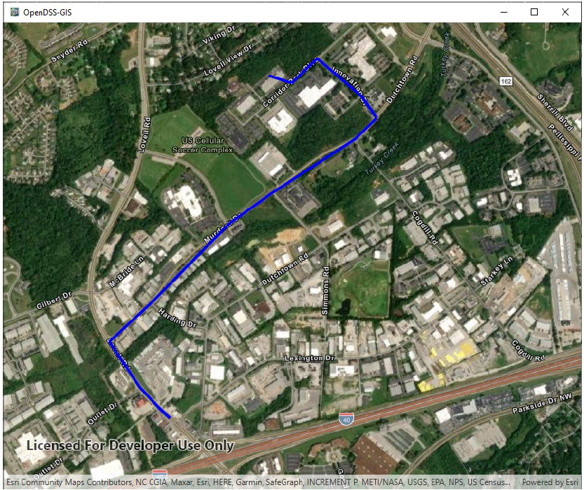
Figure 22. Showing route in OpenDSS-GIS
The following conditions need to be fulfilled:
1. OpenDSS-GIS must be installed
2. OpenDSS-GIS must be initialized (use GIS Start command)
3. GISFindRoute has been executed at some point before this command (at least once)
4. The model needs to have the correct GISCoords file